

matterport
scanning services
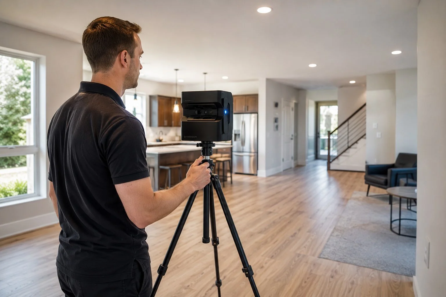
Using industry-leading 3D scanning technology and state-of-the-art cameras, we create highly accurate digital replicas of your existing space that can be explored from anywhere, at any time. These immersive models provide architects, owners, contractors, and stakeholders with a clear understanding of existing conditions without the need for repeated site visits. Whether you’re planning a renovation, documenting an as-built facility, or coordinating a complex project, our 3D scans deliver the reliable information needed to make confident decisions. The result is a faster, more efficient design process built on precise, real-world data.
Our Services

Real Estate
Use a digital copy to promote and to show a space anytime or add professional 360* photos and a video tour.
As-Builts
Spaces are documented with incredible accuracy and can be used to provide schematic floor plans including dimensions and square footages.

Construction Administration
Document the course of construction and highlight key phases, or use a digital copy to review and identify potential issues. Measurements and markups can be made within the space to ensure accuracy and efficiency.

Facilities Management
Review the condition of an existing space, or use to manage maintenance and even assist with loss documentation.

Architecture & Design
Spaces can be used to collaborate, share, and coordinate details without the need to meet physically on-site.
See it in action
How does it work?
Project Size
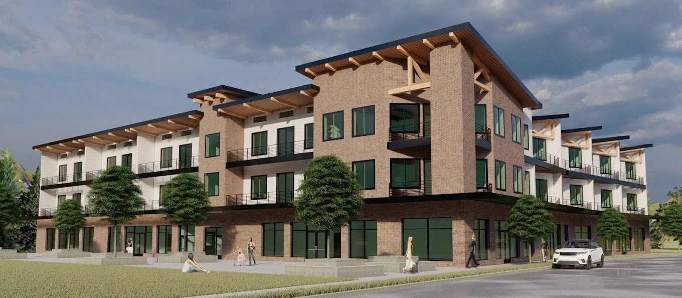
Spaces are tailor made for you to create exactly the type of digital copy you would like. From small spaces such as garage conversion to multi-story banks and historic school buildings, no project is too small or big.
Schematic Floor Plan
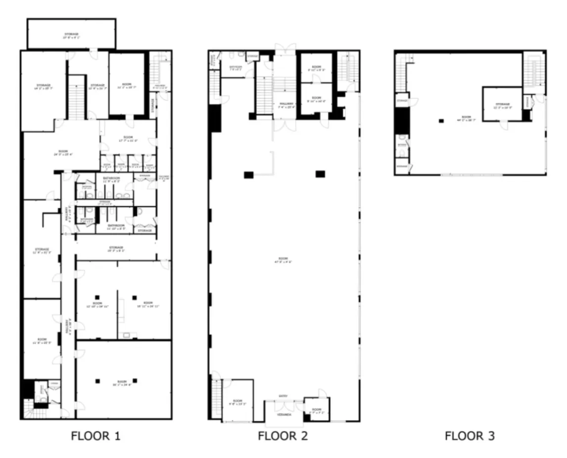
Showcase any scanned space a crisp, clean floor plan. Square footages and areas are calculated and are accurate within 1% of reality and are provided on a marketing ready 2D schematic.
Customizable Add-Ons
Point Cloud (.XYZ) and 3D mesh file (.OBJ)
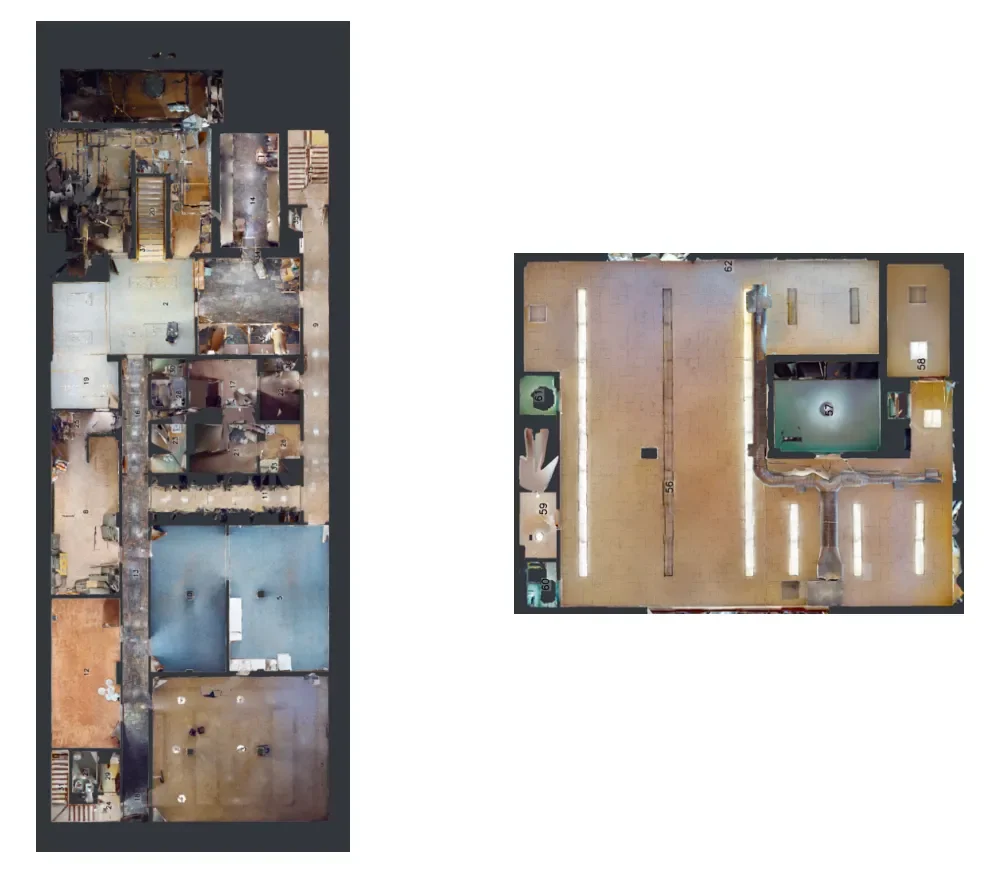
Give your project a jumpstart by importing the 3D data from your space into compatible programs like Revit, 3ds max, and AutoCAD.
Project Timing
We understand timeliness can be extremely valuable. A space can be scanned within as little as an hour and digital copies can be processed within 48 hours, which means you could be exploring your digital copy within days.
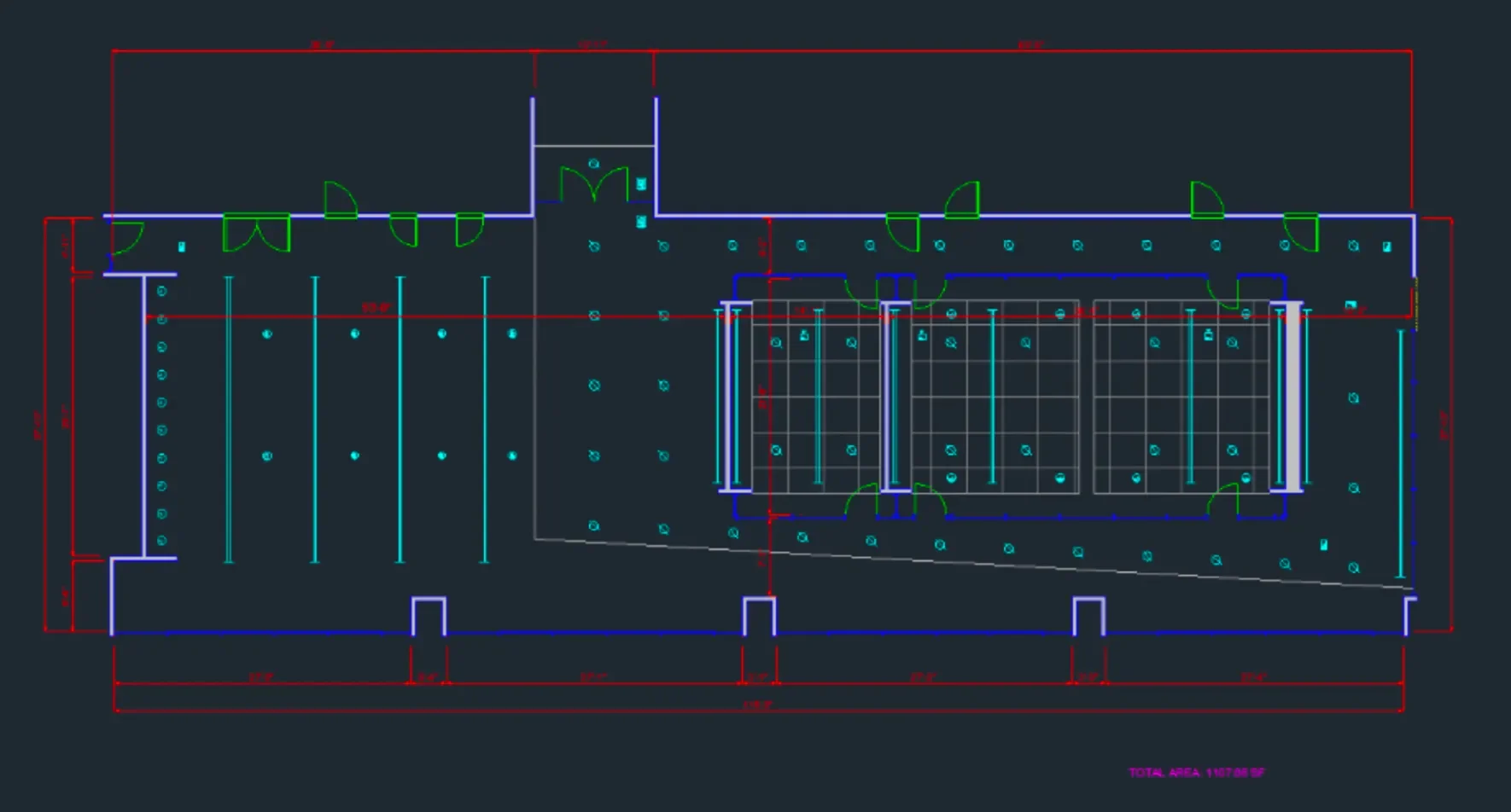
CAD & BIM Files
CAD and Revit Exports Available
E57 File
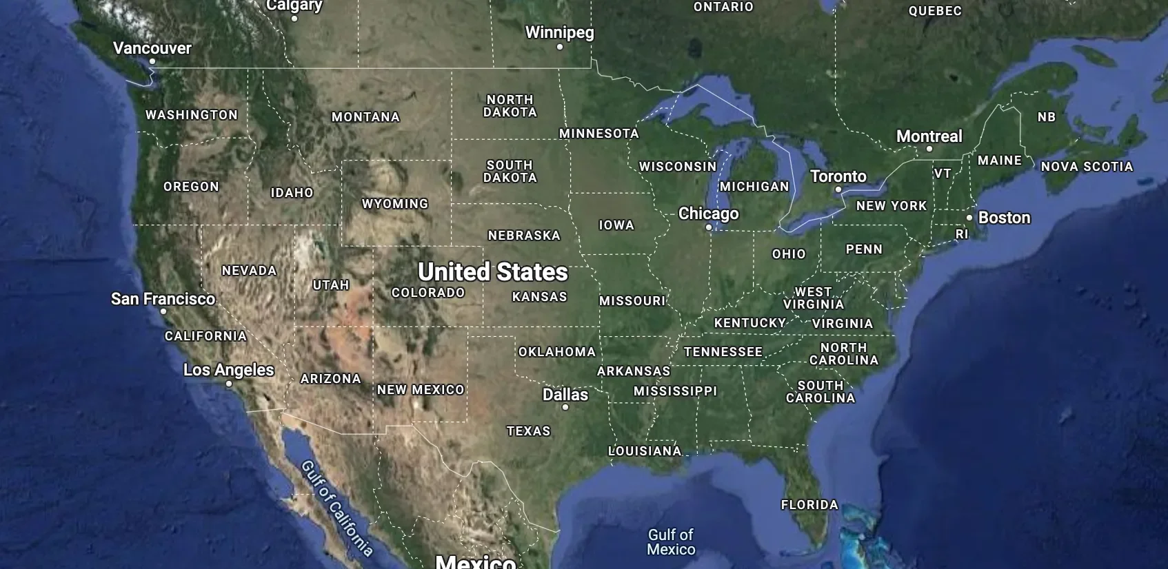
Publishing to Google Maps and Street View
TruePlan for Xactimate compatibility
Website Embedding
Ready to create a Digital copy of your Space?
Schedule a scan below with our Scanning Technician.