

Matterport vs. Traditional Measuring: Which Saves More Time & Money?
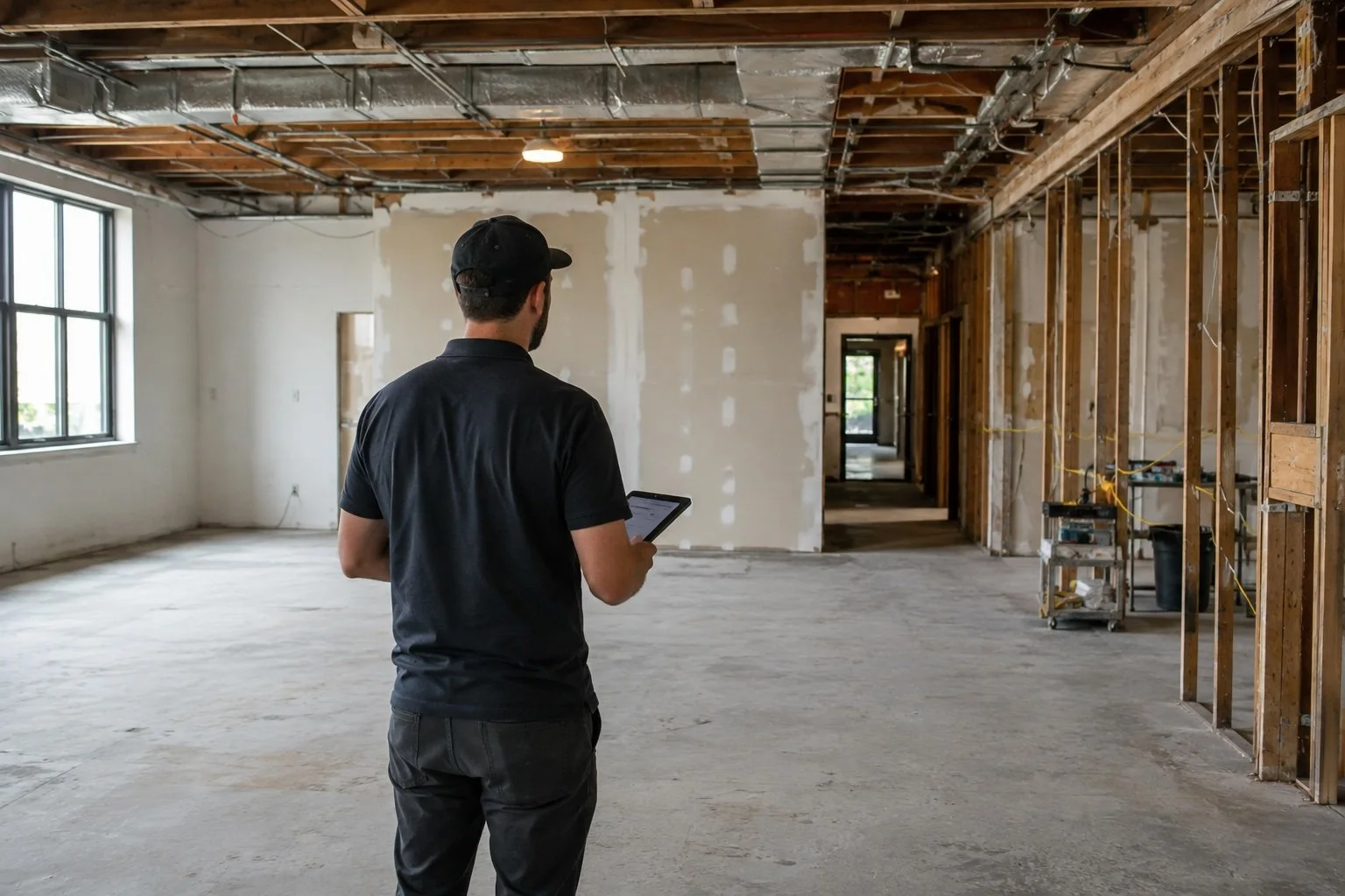
Before an architect can redesign an existing building, there is one very important question that needs to be answered:
What is actually there right now?
For renovation projects, tenant improvements, additions, adaptive reuse, commercial remodels, and many other projects involving an existing structure, accurately documenting existing conditions is one of the first steps in the design process.
Traditionally, that means sending someone to the property with a tape measure, laser distance meter, clipboard, camera, and plenty of graph paper. Room by room, measurements are taken, notes are written down, photographs are captured, and the information is eventually translated into drawings back at the office.
That method still works. In some situations, it may even be the right approach. But advances in 3D scanning technology have dramatically changed the way existing buildings can be documented.
At Revival Architects, one of the tools we use is Matterport scanning, which allows us to create a detailed digital representation of an existing space that our team can revisit virtually long after we’ve left the property. So, when comparing Matterport scanning to traditional field measuring, which method actually saves more time and money?
The answer depends on the project—but for many existing-building projects, the biggest advantage of 3D scanning isn’t simply measuring faster. It’s capturing more information the first time.
What Is Matterport Scanning?
Matterport uses a series of scans to create a navigable three-dimensional digital representation—commonly referred to as a digital twin—of an existing property. Rather than documenting isolated measurements and photographs, the scanning process captures the spatial relationship between many different parts of the building.
Once the scan has been processed, the project team can virtually move throughout the space, look in different directions, revisit rooms, inspect visible building components, and take additional measurements from the model without necessarily returning to the property.
Matterport’s current platform also supports measurement tools and outputs that can assist architectural and construction workflows. Depending on the equipment and service being used, data can be exported into formats such as CAD, BIM, and E57 point-cloud files for continued use in design software. (Matterport Support)
It effectively gives the project team a visual record of the building that can remain available throughout the design process. And that changes the entire as-built workflow.
The Real Difference: Measuring vs. Capturing
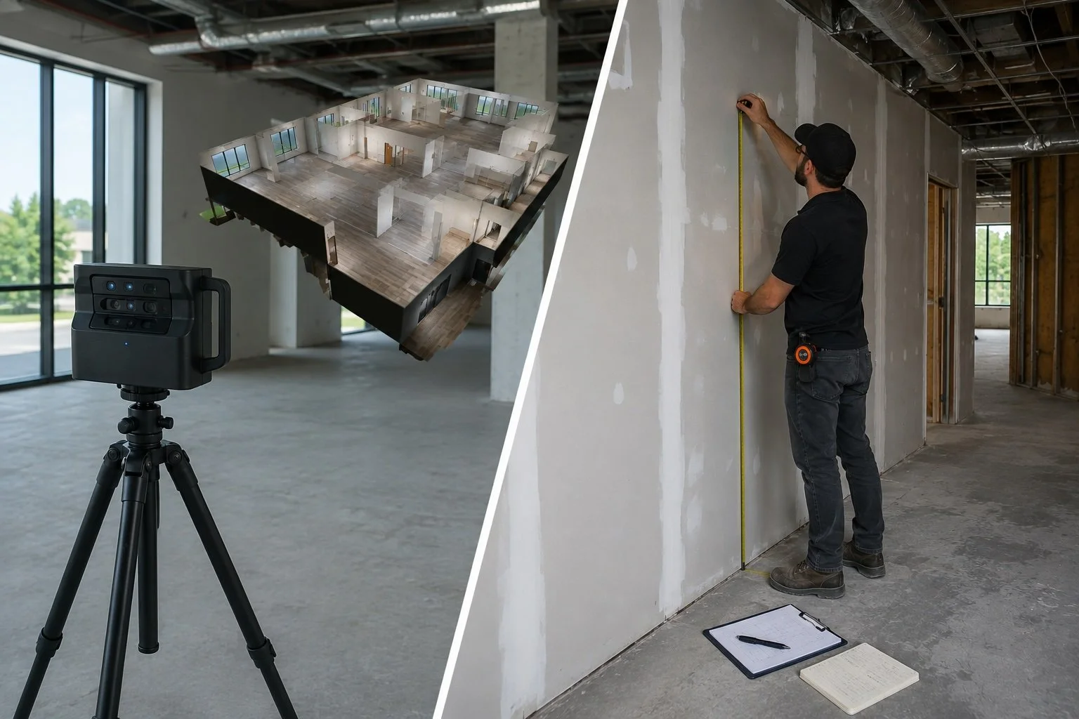
The easiest way to understand the difference is this: Traditional measuring records the information someone decides to document. Matterport captures the environment so information can be revisited later.
Imagine measuring an existing restaurant that is about to undergo a renovation. During the initial site visit, you measure the dining room, kitchen, restrooms, doors, windows, and major equipment. You take dozens of photographs.
Three weeks later, while developing the plans, someone asks: “How far is the electrical panel from that corner?” Nobody measured it. You look through the photographs. There’s a picture of the electrical panel—but the corner isn’t visible. Now someone may need to drive back to the property, gain access to the building again, take one measurement, and return to the office.
The measurement itself might take thirty seconds. The trip could consume hours. With a sufficiently detailed digital scan, there is a much better chance that the project team can return to the virtual building and retrieve the information they need without another site visit. That is where the time savings can begin to multiply.
Where Matterport Can Save Time
1. Faster Existing-Condition Documentation
Manually measuring a building is a sequential process.
Measure the wall.
Write down the number.
Measure the next wall.
Write down the number.
Measure the window.
Sketch its location.
Take a photograph.
Move to the next room.
A scanning workflow captures much of the geometry and visual information simultaneously as the technician moves through the building.
On larger or more complicated buildings, eliminating hundreds or thousands of individual manual measurements can significantly reduce the amount of field documentation required. Matterport’s Pro3 camera, for example, uses LiDAR and completes each 360-degree rotation in less than 20 seconds. Matterport lists the Pro3’s raw depth accuracy at approximately ±20 mm at a 10-meter range. (Matterport Support) The practical benefit isn’t simply that each scan is quick. It is that one scan captures considerably more spatial and visual information than writing down a single dimension.
2. Fewer Return Trips to the Property
This may be the biggest advantage of all. Anyone who has worked on renovations knows how common this conversation can be:“Did anybody measure that?” A missing measurement can mean another site visit. And another site visit means more than driving to the building.
Someone may need to:
Coordinate access with the owner
Schedule staff
Travel to the property
Find the area in question
Take measurements
Photograph the condition
Travel back
Update the drawings
For a local project, that is inconvenient. For a building several hours away—or in another state—it can become expensive very quickly. A comprehensive digital record allows the design team to virtually return to many visible areas of the building whenever questions arise. That doesn’t guarantee another site visit will never be needed. Some conditions may be hidden, inaccessible, or require more precise verification.
But eliminating even a few unnecessary return trips can meaningfully reduce project time and expense.
3. Better Photographic Documentation
Traditional field measuring usually involves taking photographs alongside measurements. The challenge is knowing exactly which photographs you’ll need later. You might take 100 photos during a site visit and still discover that none of them show the one angle you need. A Matterport model provides a much more immersive visual reference.
Instead of opening a folder containing hundreds of files named something like: IMG_4872.jpg the project team can virtually navigate to the actual room and look around.
That context can be extremely valuable. You aren’t simply looking at a photograph of a door. You can see where the door is located within the room, what’s next to it, what’s across from it, what is above it, and how that area relates to adjacent spaces.
4. Less Time Interpreting Field Notes
Traditional field documentation doesn’t end when you leave the building. Someone still has to decipher everything. Measurements have to be interpreted. Hand sketches have to be translated into drawings. Photographs need to be matched to locations. Sometimes the person developing the drawings wasn’t even the person who performed the field measurements.
Suddenly a note that made perfect sense while standing in the building isn’t quite as obvious two weeks later.
“Was this 12’-8” measurement to the face of the wall or the centerline?”
“Which window does this photograph show?”
“Does this ceiling change happen before or after that doorway?”
A digital twin provides another layer of information that designers can reference while producing drawings, helping remove some of the guesswork involved in reconstructing a building from notes and photographs.
Where Matterport Can Save Money
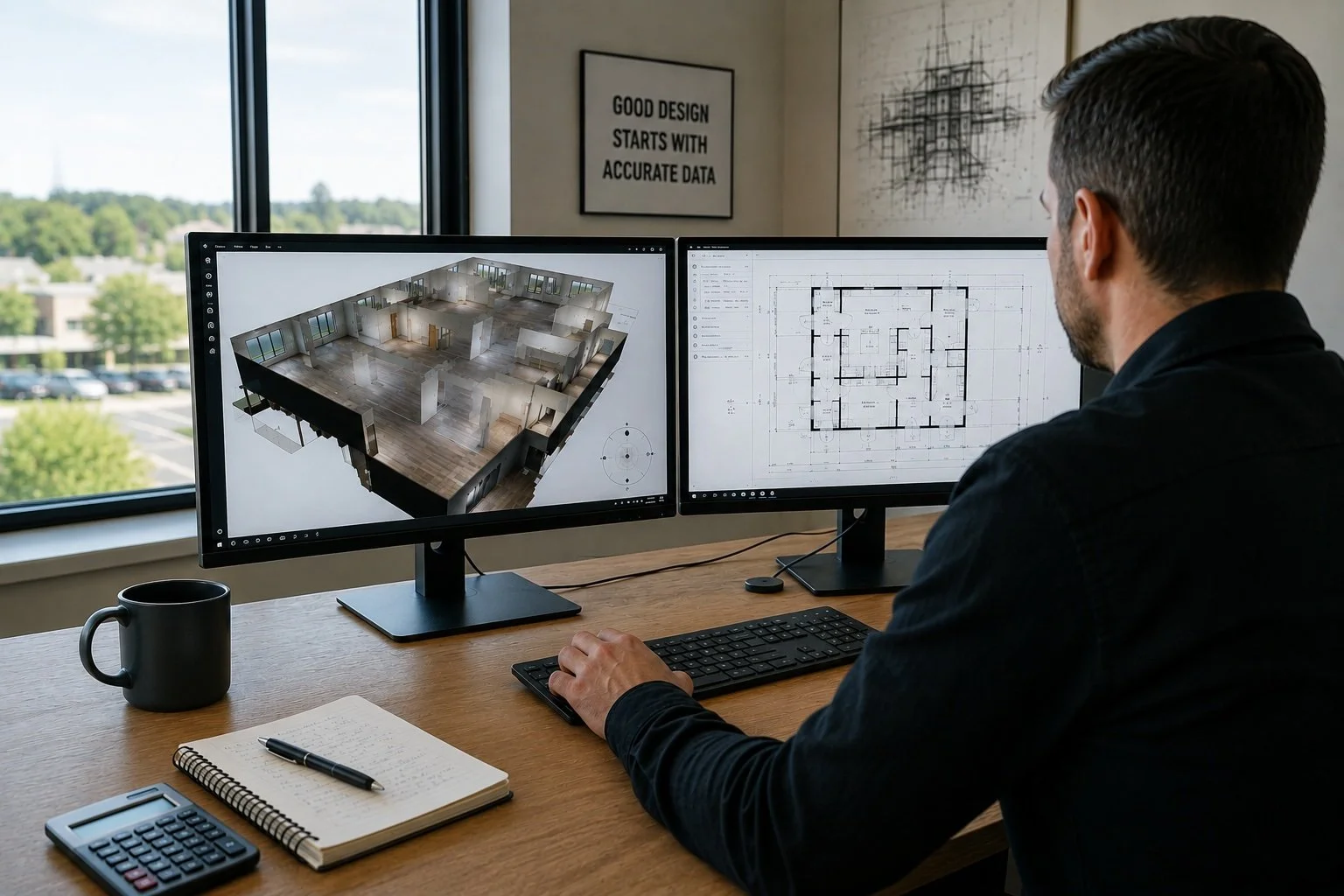
Time and money in architectural work are closely connected.
When a documentation method reduces the number of hours spent measuring, traveling, interpreting field notes, searching through photographs, and returning to the property, it can also reduce the labor required to document existing conditions.
But there are other potential savings as well.
Catching Problems Earlier
Existing buildings are full of surprises. The more accurately the design team understands the existing building before construction begins, the better chance they have of identifying potential conflicts during design rather than discovering them during construction.
For example:
A corridor may be narrower than expected.
A wall may be positioned differently than an old drawing shows.
A ceiling may drop unexpectedly.
A mechanical unit may occupy space needed for a proposed layout.
Doors and windows may not be located where previous plans indicate.
Structural columns may interfere with a proposed room configuration.
When existing conditions aren’t properly documented, those discrepancies can eventually show up in the field. And changes made during construction are usually more disruptive than changes made during design. Better documentation doesn’t eliminate unforeseen conditions, but it gives the project team more information to work with before construction starts.
Easier Collaboration
A digital model can also be valuable when multiple people need to understand the building. Instead of sending every consultant to the property simply so they can see the space, a project team can share a virtual representation of the existing building.
Architects, engineers, interior designers, contractors, owners, facility managers, and other team members may be able to examine portions of the property remotely before determining whether an additional site visit is necessary. Matterport specifically supports digital-twin workflows where users can navigate spaces, take measurements, add information, and share the model remotely. (Matterport)
For projects involving consultants in different cities or states, that accessibility can be particularly useful.
What About Accuracy?
Matterport states that most wall-to-wall measurements within Matterport Spaces are generally within approximately 2–3% of ground-truth measurements. Its Pro3 LiDAR camera has a separate raw-depth specification of approximately ±20 mm at a 10-meter range. Those figures describe different parts of the system and shouldn’t be interpreted as a guarantee that every dimension extracted from every completed model will have the same tolerance. (Matterport Support)
For normal architectural documentation, planning, visualization, and many renovation workflows, digital scanning can provide an extremely useful starting point.
However, there are situations where important dimensions should still be independently verified.
Examples might include:
Structural connections
Fabrication dimensions
Property boundaries
Extremely tight equipment clearances
Critical accessibility dimensions
Existing conditions that are obscured from view
Locations requiring survey-grade precision
Dimensions that will directly control prefabricated components
Digital scanning doesn’t eliminate professional judgment.
It gives architects another—and often extremely powerful—tool for gathering information.
Is Traditional Measuring Ever Better?
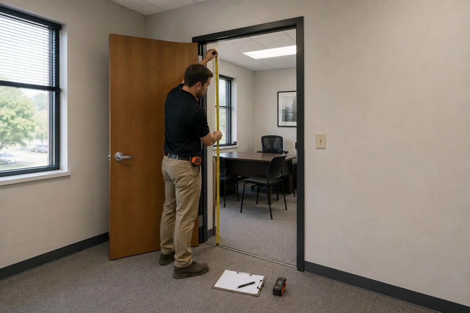
Absolutely. Technology doesn’t automatically make traditional field measuring obsolete. There are plenty of situations where grabbing a laser measure or tape measure is still faster. Consider a straightforward 500-square-foot office with four walls, one door, and two windows.
Setting up an extensive scanning and digital-processing workflow may not provide much advantage if the architect simply needs a handful of dimensions. Traditional measuring can also be useful for quickly verifying one specific condition.
If the only question is: “How wide is this doorway?” …the fastest solution may be to measure the doorway.
There are also conditions scanners cannot fully document.
A camera cannot see:
Inside a closed wall
Above an inaccessible ceiling
Beneath a finished floor
Inside concealed structural assemblies
Behind permanently obstructed equipment
Architects may still need manual measurements, exploratory demolition, existing drawings, structural investigation, or specialized consultants depending on the project.
The best workflow is often not Matterport OR traditional measuring.
It’s Matterport AND targeted field verification.
A Simple Comparison
| Traditional Measuring | Matterport Scanning |
|---|---|
| Records selected dimensions | Captures a broader spatial record |
| Requires extensive field notes | Creates a navigable digital reference |
| Relies heavily on individual photographs | Provides immersive visual documentation |
| Missing dimensions may require another visit | Many dimensions can be revisited remotely |
| Simple for small projects | Particularly useful for larger or complex spaces |
| Little equipment required | Requires specialized equipment/software |
| Excellent for targeted verification | Excellent for comprehensive documentation |
| Information lives primarily in drawings and notes | Existing conditions remain visually accessible |
| Can be very precise when carefully measured | Accuracy depends on equipment, conditions, processing, and measurement type |
Neither method wins every category. The question is really about how much information the project requires and how valuable it will be to have access to that information later.
Where 3D Scanning Makes the Biggest Difference
Matterport becomes particularly valuable as projects become larger, more complicated, more remote, or more difficult to access.
Commercial Renovations
Existing commercial buildings can contain years—or decades—of modifications.
Tenant improvements, mechanical upgrades, wall relocations, electrical changes, and previous additions may mean the building looks very different from the plans originally filed with the city.
Capturing current conditions provides the design team with a far better understanding of what they’re actually working with.
Tenant Improvements
Tenant improvement projects often move quickly.
Owners want spaces leased.
Tenants want to open.
Contractors need drawings.
Permits need to be submitted.
Reducing time spent documenting an existing suite can help get the design process moving sooner.
Multi-Family Buildings
Apartment buildings can contain dozens or even hundreds of rooms. Although units may appear identical on the original drawings, renovations made over the years can create differences from unit to unit. Digital documentation can make it much easier to understand those variations.
Historic Buildings
Older buildings can be particularly difficult to document manually.
Walls may not be square.
Ceiling heights change.
Architectural details may be difficult to describe with dimensions alone. A detailed visual record can be incredibly helpful when the design team needs to repeatedly reference unique existing conditions.
Remote Projects
Travel changes the economics quickly.
If an architect has to travel several hours—or fly to another state—to retrieve a forgotten measurement, the cost of that missing information can become substantial.
Capturing as much of the building as possible during the initial visit becomes much more valuable when returning isn’t easy.
Government and Grant-Funded Projects
Projects involving multiple stakeholders may require extensive documentation and coordination.
A digital representation of existing conditions can provide a common visual reference for owners, agencies, consultants, contractors, and design teams who may not all be able to visit the property together.
The Hidden Cost of a Missing Measurement
When comparing traditional measuring with scanning technology, it’s tempting to compare only the time spent physically walking through the building. That’s only part of the equation. The true cost of existing-condition documentation includes:
Field time + travel + drawing production + photo organization + interpretation + consultant coordination + return visits + corrections
A method that takes slightly longer at the property could actually save substantial time later if it captures significantly more useful information. That is why comprehensive documentation can be so valuable. The goal isn’t necessarily to get out of the building as quickly as possible.
The goal is to avoid having to go back.
So, Which One Saves More Time and Money?
For very small and simple projects, traditional measuring may still be the most efficient option. For larger renovations, complicated existing buildings, remote projects, tenant improvements, commercial facilities, multi-family properties, and buildings without reliable existing plans, Matterport scanning can provide a major advantage.
Not simply because it can capture measurements quickly. Because it creates a digital record of the building that the project team can continue using throughout design. The more complicated the building becomes, the more valuable that record can become.
A measurement taken manually gives you a number. A photograph gives you an image. A sketch gives you an interpretation.
A properly captured digital twin brings those types of information together and gives the design team the ability to virtually return to the building when new questions arise. And on renovation projects, there are always new questions.
The Revival Approach
At Revival Architects, we believe good design starts with understanding what we’re working with.
That’s why we use modern 3D scanning technology alongside traditional architectural field verification to document existing buildings as thoroughly and efficiently as possible.
Using industry-leading 3D scanning equipment and digital tools, we can create an immersive virtual representation of a property that our team can reference throughout the design process. Rather than relying entirely on handwritten dimensions, sketches, and folders full of photographs, we’re able to virtually revisit many existing conditions from the office—whether the project is down the street or several states away.
That can mean fewer unnecessary site visits, better coordination, more informed design decisions, and a clearer understanding of the building before construction begins.
Because when you’re planning to change a building, the first step isn’t deciding what it could become.
It’s understanding exactly what you’re starting with.